 Rittiers
Know the road before you ride
- You don't know how hard that climb is?
- You don't know where the cobbles start?
- You don't know if the next stretch is tarmac or gravel?
- You don't know what's still ahead at kilometre 60?
Rittiers turns a GPX file into something you can actually ride. Import a route and it reads the road beneath it — every climb, every cobbled sector, every stretch of gravel — then puts that on your handlebars, your wrist and your Lock Screen.
Or describe the ride you want in plain language and it builds you a real one, from real roads, with the weather in mind. Ask for a coffee stop halfway and it reroutes around it. Your original route is never overwritten.
Start riding today!

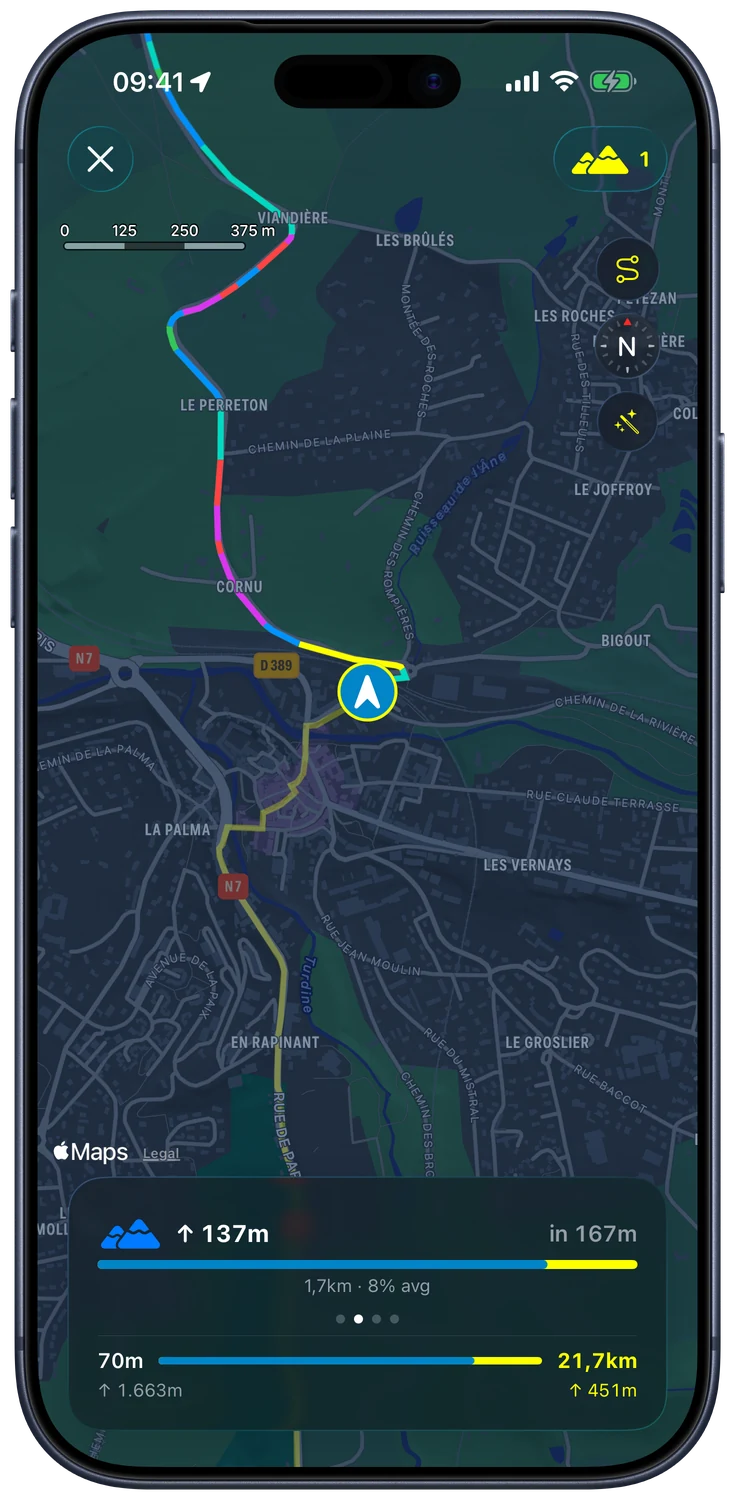
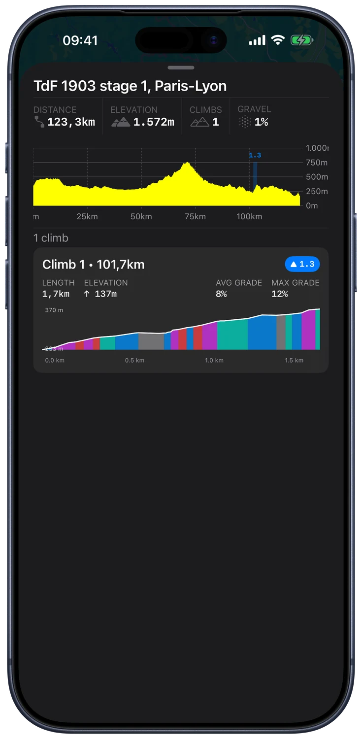
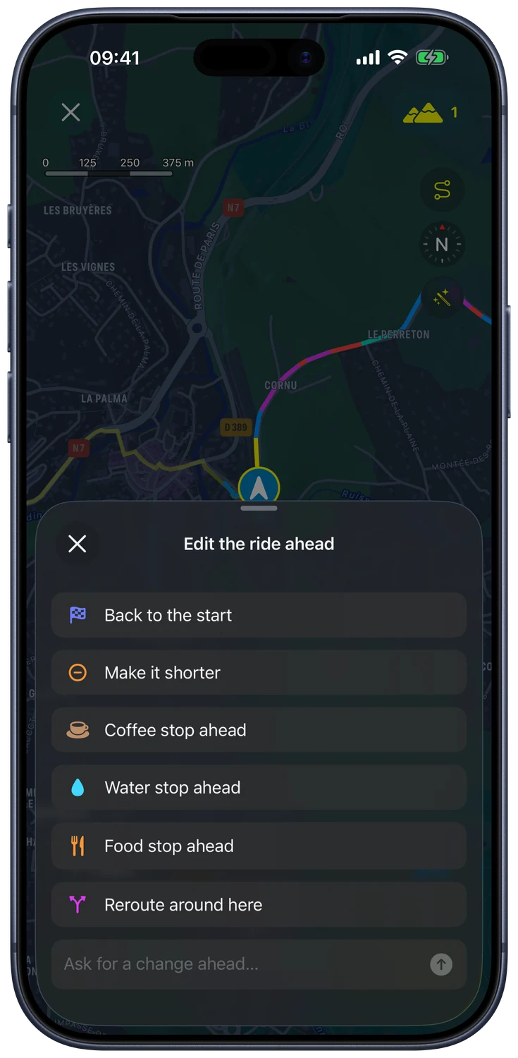
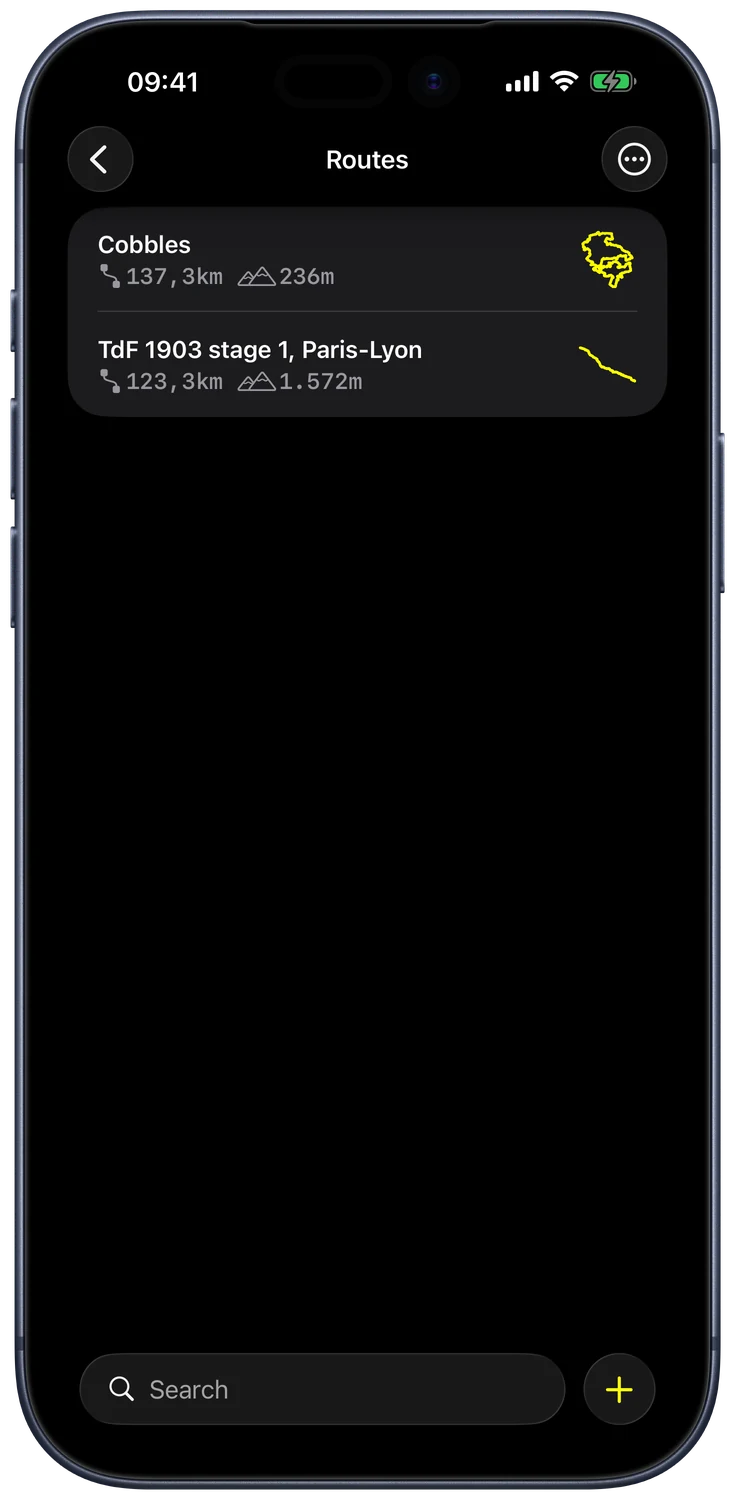
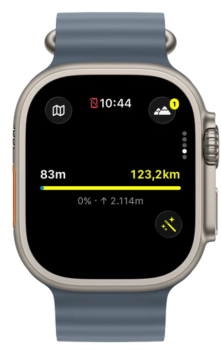
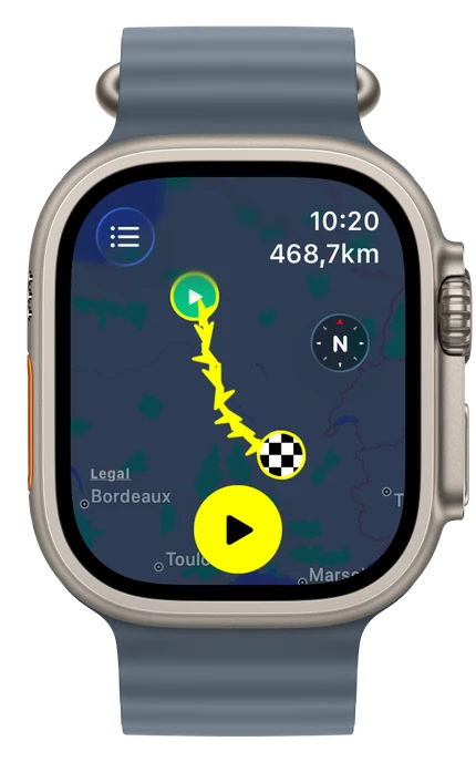
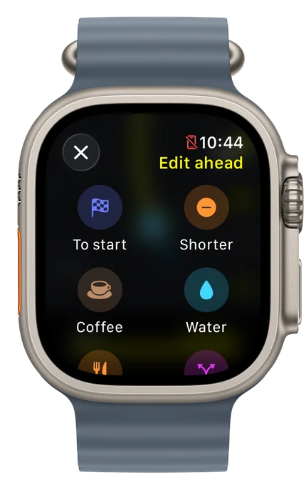
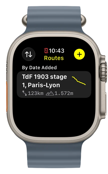
One app, everywhere you ride and plan: iPhone, Apple Watch, iPad, Mac, Apple Vision Pro and Apple TV. Routes, folders and settings follow you through iCloud.